Felix Weber · 13 September 2026
From Pioneers to Peak Yields: Connecting Sibley's Settler History With Current Farming Records
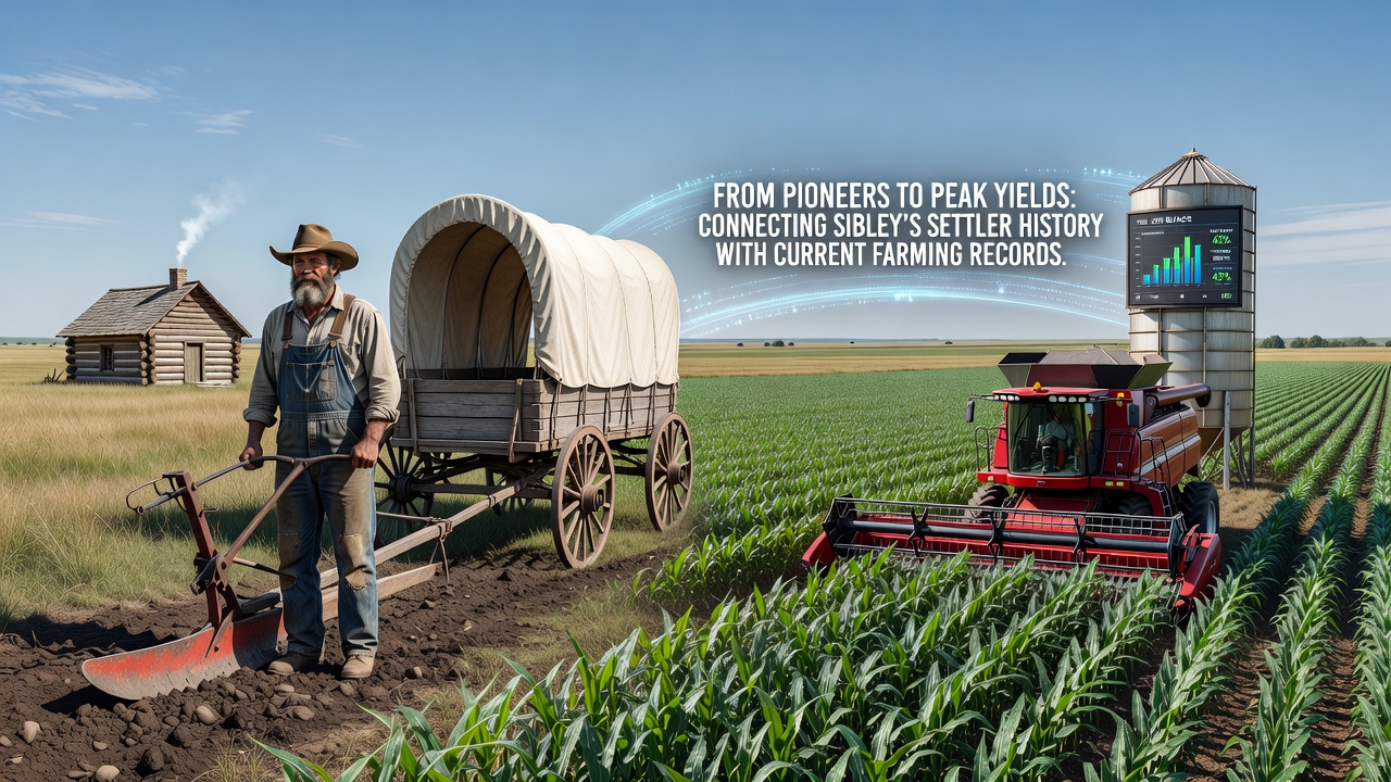
Sibley, Iowa sits in Osceola County where early settlers arrived in the 1870s and established the foundations of what became one of the state's most productive agricultural regions, and those same lands now support modern operations that track yields with precision equipment and detailed records.
Settlement Patterns Shape the Landscape
Osceola County opened for settlement after the Homestead Act encouraged families to claim 160-acre parcels, and by 1872 Sibley had been designated the county seat with a railroad connection that brought supplies and hauled grain to distant markets. People who arrived during those first decades cleared native prairie, broke sod with steel plows, and planted corn and wheat while contending with harsh winters and unpredictable rainfall. Those initial farms operated without chemical fertilizers or hybrid seed, yet the records kept in county ledgers show steady increases in cultivated acreage through the 1880s and 1890s as more families arrived and additional land came under the plow.
Early Crop Records and Techniques
Local historical documents indicate that average corn yields in the region hovered around 25 to 35 bushels per acre during the late nineteenth century, and farmers relied on crop rotation with oats and hay to maintain soil fertility. Diaries and farm journals from that era describe hand-picked harvests and horse-drawn equipment, while community threshing crews moved from farm to farm each fall. Observers note that these labor-intensive methods produced enough surplus to support local elevators and the growing town of Sibley, establishing patterns of production that persisted into the twentieth century even as tractors replaced horses and hybrid varieties entered fields after World War II.
Transition to Modern Practices
By the mid-twentieth century, Osceola County farmers adopted commercial fertilizers, pesticides, and improved seed genetics that lifted yields dramatically, and county extension reports document corn averages climbing past 100 bushels per acre by the 1970s. Irrigation systems appeared on some operations during drier decades, while no-till methods reduced erosion on rolling ground. Data from the National Agricultural Statistics Service shows continued gains through the 1990s and 2000s as precision planting, GPS guidance, and variable-rate applications became common, and those same technologies now allow producers to map every field down to the individual acre.
Current Yield Records and Data Tracking
Recent harvest figures place Osceola County among Iowa's stronger performers, with corn yields frequently exceeding 200 bushels per acre on well-managed ground and soybean averages reaching the mid-60s, according to USDA county estimates. Farmers maintain digital records that log planting dates, fertilizer applications, rainfall amounts, and final harvest weights, creating datasets that researchers compare against historical benchmarks. One study from Iowa State University Extension examined long-term trends and found that yield gains since 1950 correlate closely with adoption of hybrid seed and nitrogen management, yet soil health metrics also receive attention as operators balance productivity with sustainability goals.
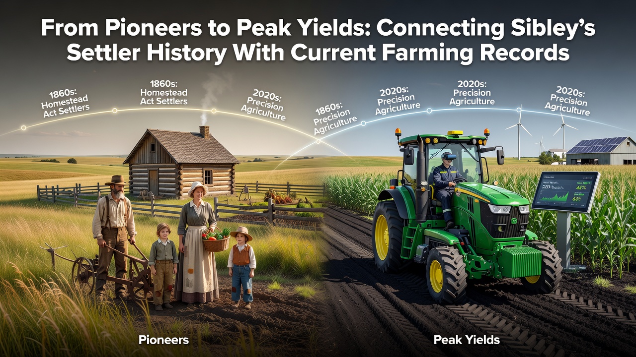
September 2026 brought another harvest season where local producers reported strong results amid favorable weather patterns, and several operations shared anonymized field data with university researchers studying climate resilience. Those records reveal how today's equipment captures moisture levels at harvest and adjusts for quality, information that would have been impossible to gather during the settler era but now informs decisions about seed selection for the following year.
Linking Historical Context to Present Performance
The same sections of land once broken by oxen and walking plows now support center-pivot irrigation and drone scouting, yet the underlying connection remains the soil itself and the knowledge passed across generations. County plat maps from the 1880s still guide some boundary decisions, while current soil sampling programs build on the recognition that early settlers already understood the value of manure application and crop rotation. Experts at agricultural research stations point out that today's highest-yielding fields often sit on ground that has been continuously farmed since the 1870s, suggesting that careful management over 150 years has preserved productivity even as methods evolved.
Community Institutions Preserve Both Eras
The Osceola County Historical Society maintains collections of settler tools alongside photographs of early threshing crews, and these artifacts sit near displays of modern yield monitors and drone imagery. Local schools incorporate farm history into curricula so students understand how records kept on paper ledgers gave way to spreadsheets and cloud-based platforms. Observers note that this continuity helps new operators appreciate both the challenges their predecessors faced and the tools now available to push yields higher while tracking environmental impacts.
Conclusion
Sibley's agricultural story stretches from homestead claims filed in the 1870s to harvest data collected by satellite-guided combines in 2026, and the thread connecting those periods is the steady accumulation of knowledge about what the land can produce. County records, extension reports, and farmer-maintained datasets all demonstrate that progress built on earlier foundations rather than replacing them entirely, and the result appears in consistent yield improvements across generations. As operations continue to refine practices and share information through university partnerships, the link between settler-era decisions and current peak yields remains visible in the fields surrounding Sibley.