Lars Keller · 11 October 2026
Sibley Library Digitization Effort Links Settler Archives Directly to Ongoing Infrastructure Planning Sessions
Researchers at the Sibley Public Library have completed the first phase of a multi-year digitization initiative that converts settler-era land records, survey notes, and community ledgers into searchable digital formats, and these materials now feed directly into municipal infrastructure planning meetings held throughout the region.
Library technicians began scanning fragile documents in early 2024, focusing on materials dated between 1856 and 1920 that detail original property boundaries, watercourse alterations, and early road alignments across what became the city of Sibley. The project received support through a state library services grant administered by the Institute of Museum and Library Services, which provided equipment and temporary staffing to handle the volume of pages involved.
Historical Records Enter Modern Workflows
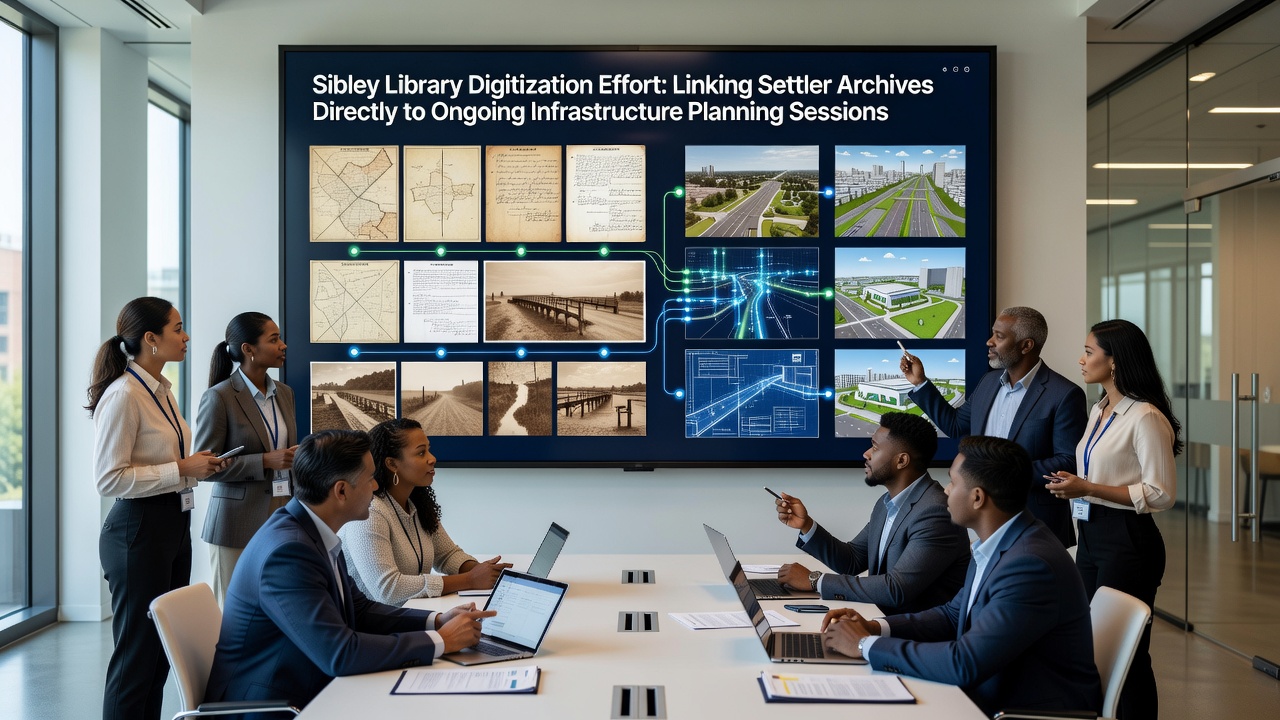
City engineers and planning staff accessed the newly digitized collections during regular sessions beginning in spring 2025, cross-referencing 19th-century drainage maps with current stormwater modeling data to identify persistent flood patterns along former creek beds. One planning session in July 2025 examined how original settler homestead claims aligned with proposed utility corridor expansions, revealing several easements that had not appeared in later municipal surveys.
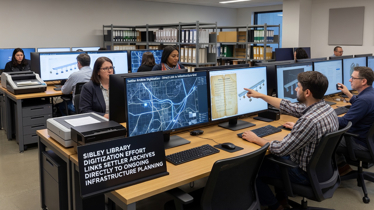
Archivists note that the records include handwritten annotations by early county surveyors describing soil conditions and vegetation that influenced road placements, and these details now appear in GIS layers used by the public works department. Data from the library project integrates with the county's asset management system through an API connection established in August 2025, allowing planners to query historical references alongside contemporary sensor readings from road and bridge infrastructure.
October 2026 Sessions Draw on Expanded Dataset
Planning meetings scheduled for October 2026 will incorporate an additional 12,000 pages scheduled for release that month, including township plats and correspondence between early landowners and the original railroad company that established Sibley's first transportation corridor. Project coordinators report that these documents contain references to gravel sources and timber stands that supplied materials for the initial road network, information now relevant to discussions about sustainable sourcing for upcoming pavement rehabilitation projects.
According to figures released by the Sibley Department of Public Works, the October sessions will review three specific corridors where historical land-use patterns intersect with current capital improvement plans. Staff have prepared overlay maps that combine settler survey lines with LiDAR elevation data collected in 2023, highlighting areas where original drainage features continue to affect pavement performance.
Technical Integration and Access Methods
The library maintains the digital collection on a dedicated server hosted by the regional library consortium, with metadata following Dublin Core standards to ensure compatibility with external systems. Planning department users log in through a secure portal that logs access for compliance with public records requirements, and each query returns both the original scanned image and a text transcription verified by volunteer historians.
University of Minnesota researchers contributed to the transcription verification process through a partnership agreement signed in March 2025, supplying graduate students who cross-checked place names and measurements against published county histories. This collaboration produced a controlled vocabulary list now embedded in the search interface, allowing planners to retrieve documents by modern street names that correspond to historical designations.
Broader Applications Beyond Local Planning
Similar digitization efforts have occurred in other Midwestern communities, with the National Archives of Australia publishing case studies on how historical land records informed contemporary water infrastructure decisions in regional Victoria. Those findings, available through the Archives' online research portal, describe comparable workflows where scanned survey notes helped identify legacy irrigation channels still influencing current flood modeling.
Observers note that Sibley's approach differs by embedding the historical layer directly into routine planning software rather than treating it as a separate reference collection. The city IT department completed the final API configuration in September 2025, and usage logs indicate an average of 47 queries per week from planning staff since the connection went live.
Future Phases and Public Access
Remaining phases of the library project include digitization of photograph collections and oral history transcripts recorded in the 1970s that reference changes to the original street grid. Project leaders have scheduled public workshops for early 2027 to demonstrate how residents can access the same datasets used in municipal planning, with tutorials on interpreting historical survey symbols alongside current zoning maps.
City council documents list the digitization initiative as a supporting element in the 2026-2030 capital improvement program, though no additional funding requests have been submitted at this stage. The library continues to accept volunteer transcribers through its established program, which has processed more than 8,000 pages since the effort began.
Conclusion
The connection between Sibley Library's digitized settler archives and ongoing infrastructure planning sessions continues to develop through established technical links and scheduled review periods. October 2026 meetings will test the expanded dataset against specific corridor projects, while the library maintains its role as custodian of the underlying records. Public access features remain under development, with the current system serving primarily municipal users who integrate historical references into daily workflow processes.