Lars Keller · 27 September 2026
Traffic Incident Data Fuels Innovative Upgrades Across Sibley Road Networks
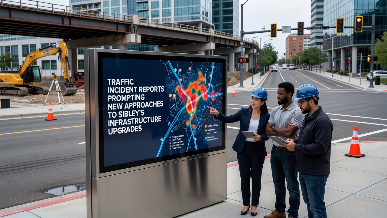
Traffic incident reports compiled over recent years have highlighted patterns along several Sibley corridors, and local authorities have responded by shifting toward data-driven infrastructure strategies that emphasize safety and efficiency. Observers note the reports reveal clusters of collisions at specific intersections and stretches where vehicle volumes have grown steadily since the early 2020s, prompting engineers to explore alternatives beyond traditional widening projects.
Patterns Revealed in Recent Reports
Analyses of crash data from 2023 through 2025 show rear-end incidents dominating at four major junctions, while pedestrian conflicts appear concentrated near commercial zones on the east side of town. Researchers from regional planning groups have cross-referenced these figures with volume counts, and the results indicate peak-hour speeds often exceed posted limits by margins that correlate with higher severity outcomes. Those who've examined the datasets point out that lighting deficiencies and outdated signal timing contribute to many after-dark events, leading planners to prioritize adaptive systems in upcoming phases.
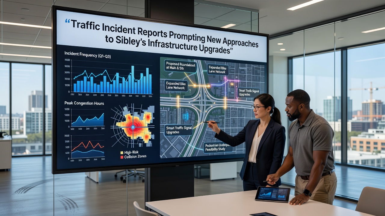
September 2026 marks the scheduled release of an updated modeling study that will incorporate the latest incident logs, and preliminary findings already suggest roundabouts could reduce certain crash types by measurable percentages compared with signalized intersections. Data from comparable Midwestern communities supports this direction, with before-and-after metrics showing drops in injury rates after similar conversions.
Shifting from Reactive Fixes to Proactive Design
City engineers have begun testing modular curb extensions and protected bike lanes at two pilot locations, while broader plans call for embedded sensors that adjust signal phases in real time based on detected flows. According to Federal Highway Administration resources, such intelligent transportation elements have produced efficiency gains in multiple U.S. pilot programs, and Sibley officials are adapting those approaches to local conditions rather than adopting wholesale templates.
Construction timelines now integrate public feedback loops at earlier stages, allowing residents to review 3D visualizations of proposed changes before final engineering drawings are locked. This method has surfaced concerns about access for delivery vehicles and emergency response routes, and adjustments continue as a result.
Funding Mechanisms and Timeline Adjustments
State and federal grants have supplemented local allocations, with matching requirements tied to performance benchmarks such as incident reduction targets measured over five-year windows. One study released by a Canadian transportation research institute demonstrated that communities linking funding to verifiable safety outcomes achieved faster implementation and stronger public support, and Sibley planners have referenced those lessons when structuring their own milestones.
Work on the first corridor segment is slated to begin after the September 2026 modeling update, with subsequent phases sequenced to minimize disruption during harvest seasons when agricultural traffic peaks. Coordination with utility providers has already identified underground conflicts that could otherwise delay paving and striping operations.
Community Integration and Monitoring
Public dashboards displaying anonymized incident trends are now live, giving residents direct access to the same datasets driving decisions. Observers note this transparency has increased meeting attendance and generated specific suggestions, such as additional crosswalks near schools and improved wayfinding signage for truck routes. Ongoing evaluation will track metrics like average travel times and collision frequency, with quarterly reports scheduled to inform any mid-course corrections.
Longer-term visions include connections to regional trail networks and transit stops designed with universal access standards, while short-term interventions focus on high-incident spots identified in the most recent logs. Those who've followed similar projects elsewhere emphasize the value of combining physical changes with targeted education campaigns that address driver behavior alongside infrastructure.
Conclusion
Traffic incident reports continue to serve as the foundation for Sibley's evolving infrastructure roadmap, guiding choices that blend proven engineering practices with emerging technologies. As the September 2026 modeling study approaches, the emphasis remains on measurable safety improvements and adaptive planning that responds to actual usage patterns rather than assumptions. The process demonstrates how localized data can shape broader network upgrades while maintaining flexibility for future adjustments.